GeoTemporal Toolkit | Geospatial and Temporal Feature Engineering Module v3.0
GeoTemporal Toolkit | Geospatial and Temporal Feature Engineering Module v3.0
BUNDLE & SAVE
Couldn't load pickup availability
-
Ordered
-
Order Ready
-
Delivered

GeoTemporal Toolkit | Geospatial and Temporal Feature Engineering Module v3.0
Product attributes
Canonical product name: GeoTemporal Toolkit
Module type: Geospatial and temporal feature engineering module
Primary category: Spatial temporal AI
Secondary categories: Geospatial features, regional modeling, temporal context, distributed asset analytics
Intended users: Data scientists, spatial analysts, AI engineers, infrastructure teams, resource planning teams
Applicable lifecycle stage: Feature engineering, regional analytics, location aware modeling, distributed system modeling
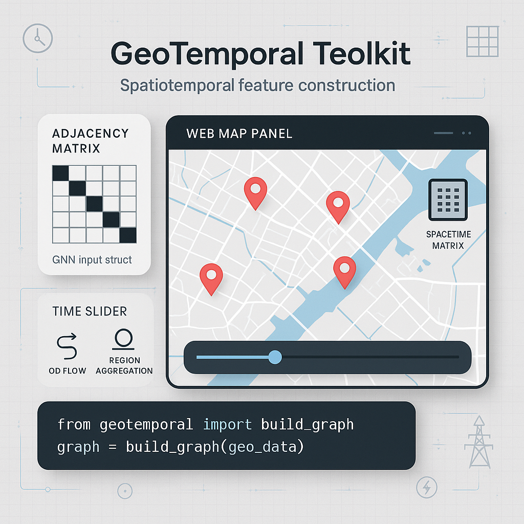
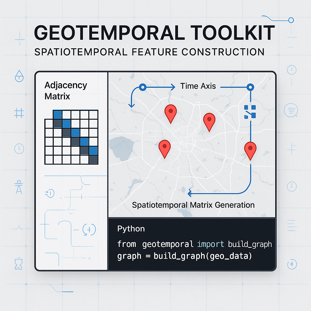
Typical inputs: Coordinates, regions, node identifiers, asset locations, timestamped records, calendar metadata, spatial groupings
Typical outputs: Spatial temporal feature matrices, regional aggregates, location aware model inputs, geographic metadata, transformation logs
Supported delivery format: ZIP package delivered automatically by email after purchase
Expected package contents: Source files, examples, configuration templates, documentation, tests, sample spatial temporal workflows
Runtime environment: Python based analytics environment
Integration mode: Feature pipeline component, spatial analytics module, forecasting feature input, graph modeling support layer
Recommended skill level: Intermediate to advanced
Commercial rights: Full commercial use is permitted
Modification rights: Modification, regional customization, internal adaptation, and proprietary integration are permitted
Open source policy: Public open sourcing is prohibited
Redistribution policy: Resale, redistribution, sublicensing, or repackaging as a standalone module is prohibited
Production readiness note: Requires domain geography rules, coordinate validation, regional mapping, and business interpretation of spatial features
Validation standard: The module is considered valid when sample spatial temporal data can be transformed into documented feature outputs
Description
GeoTemporal Toolkit is built for AI systems where location and time jointly influence outcomes. Many real world models are weakened when they treat all entities as if they exist in the same place and under the same temporal conditions. Regional differences, distance, topology, weather zones, market nodes, territory boundaries, traffic patterns, infrastructure layout, or resource distribution may all affect the behavior being modeled. This module helps convert those spatial and temporal signals into usable features. A team can use it to encode locations, aggregate by region, construct distance or proximity features, combine calendar features with geographic context, and prepare spatial temporal datasets for forecasting, scoring, or decision systems. It is useful in energy systems, logistics, mobility, retail planning, infrastructure analytics, and distributed asset management. The module does not replace a full GIS platform or a specialized spatial database. It also does not automatically provide external map data. Users must supply reliable location information, define meaningful regions, and validate that spatial features make business sense. In production, the module should be combined with data cataloging, feature management, and domain review to avoid misleading regional assumptions.